Whenever we visit Scotland, we always meet up with Keith’s mates at some point during our stay, and this trip was no different. Upon arrival, we were off to “Jinty’s” on Ashton Lane in Glasgow’s vibrant West End. Jinty McGuinty’s Irish Bar isn’t one of those kitschy Irish theme pubs – it’s the real deal. A cozy spot with a mahogany bar, barrel tables, snug wooden alcoves, and a fireplace that makes you want to linger. As Keith’s friends trickled in after work, we found ourselves crammed into a tiny alcove, swapping stories and planning our weekend getaway to the Isle of Arran.
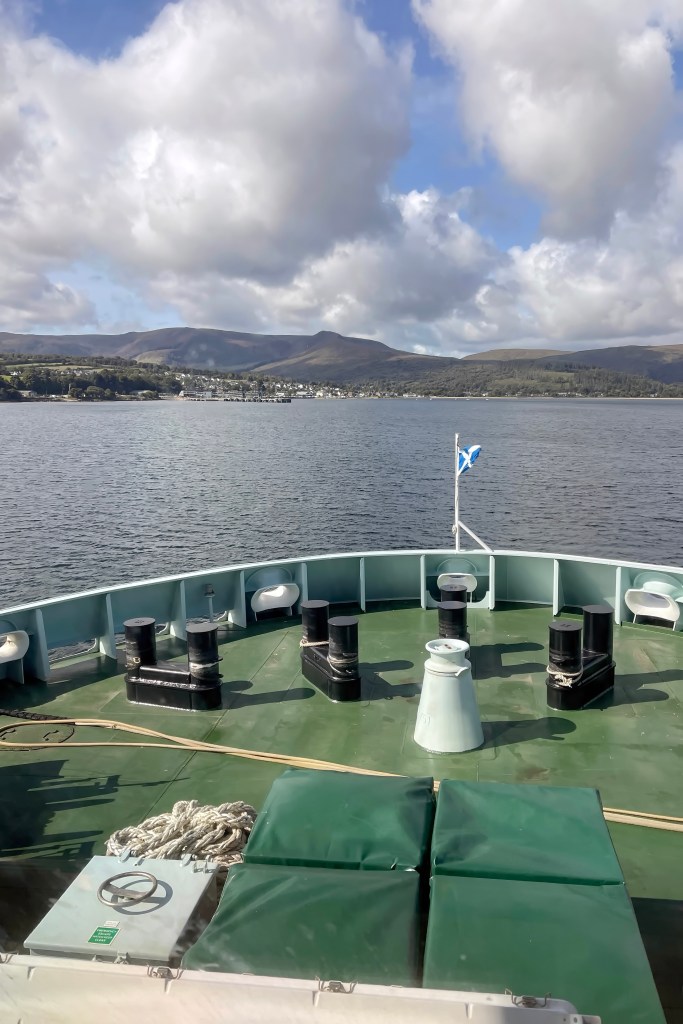
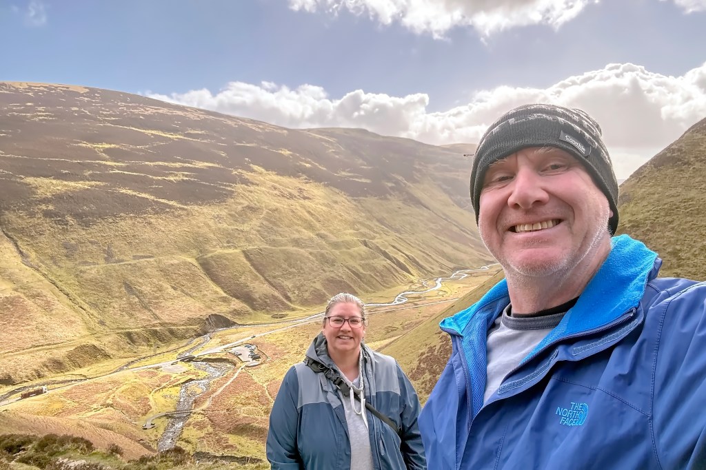
The Isle of Arran is just an hour’s ferry ride off Scotland’s west coast. They call it Scotland in miniature for good reason: in the south, soft rolling hills and farmland stretch out, while the north is rugged and mountainous, crowned by Goatfell, the island’s highest peak at 874 m (2,866 ft).
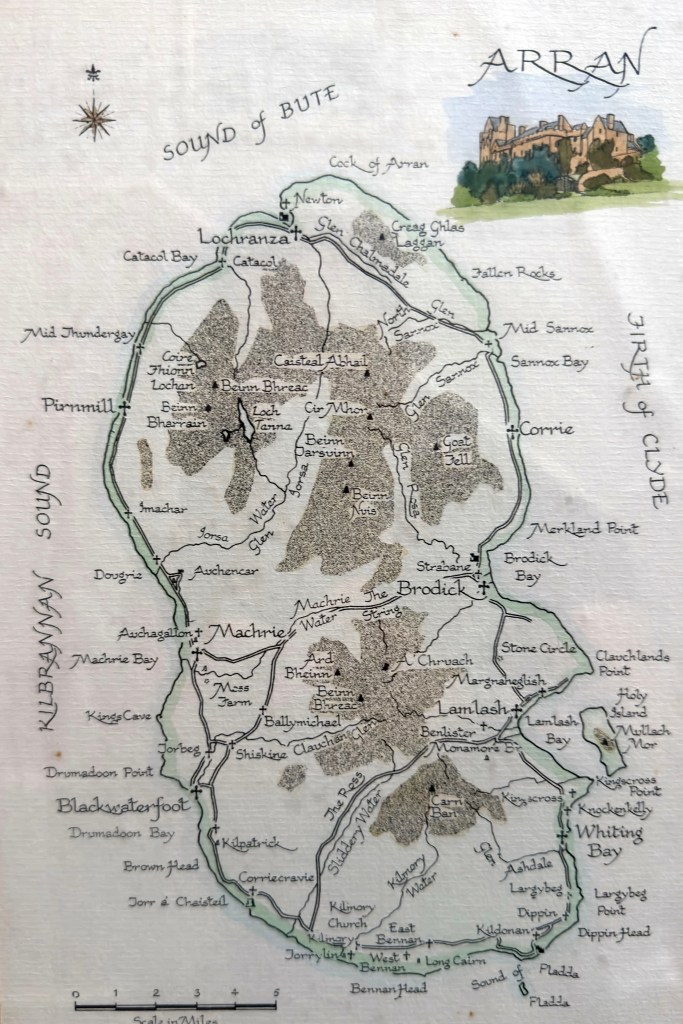
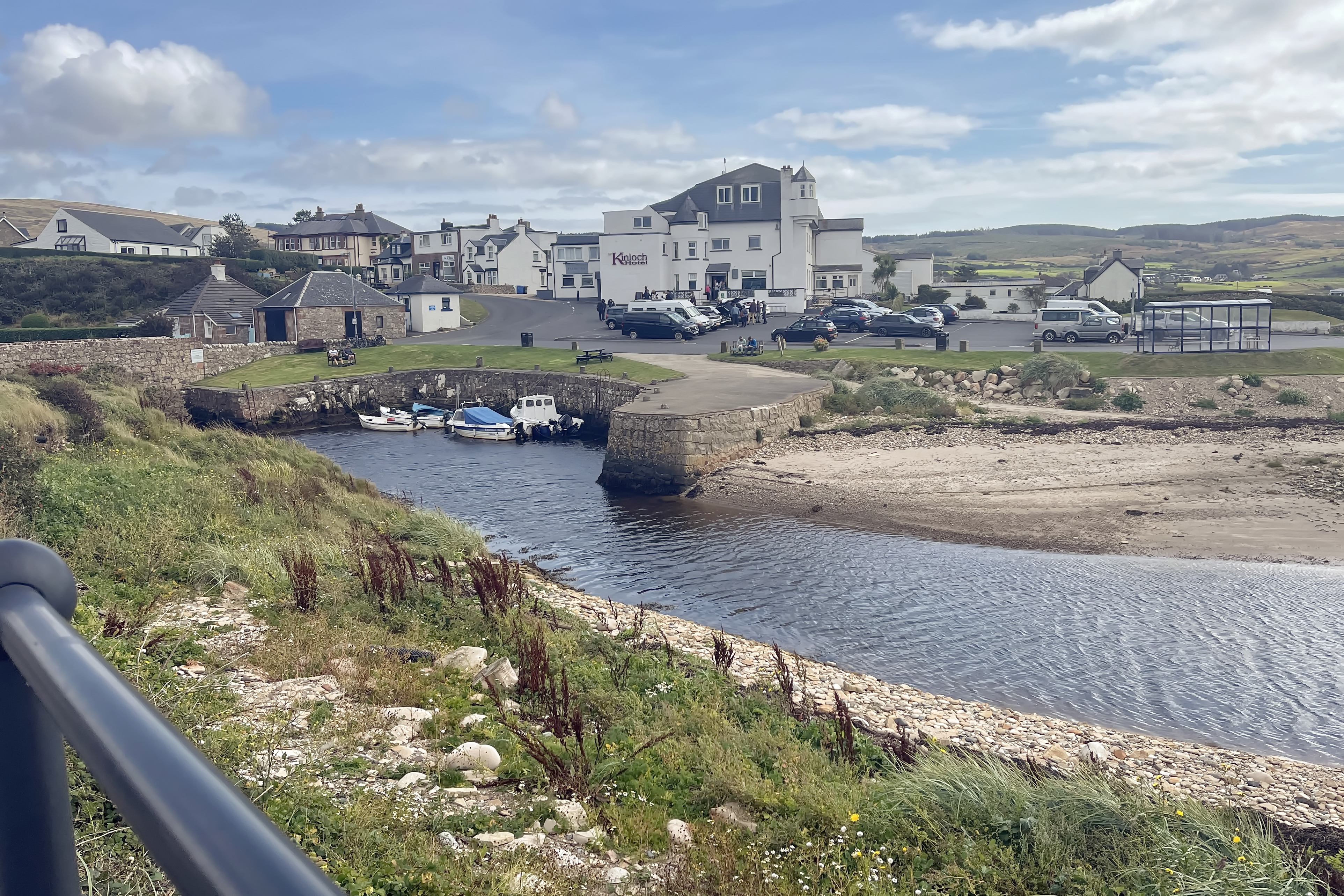
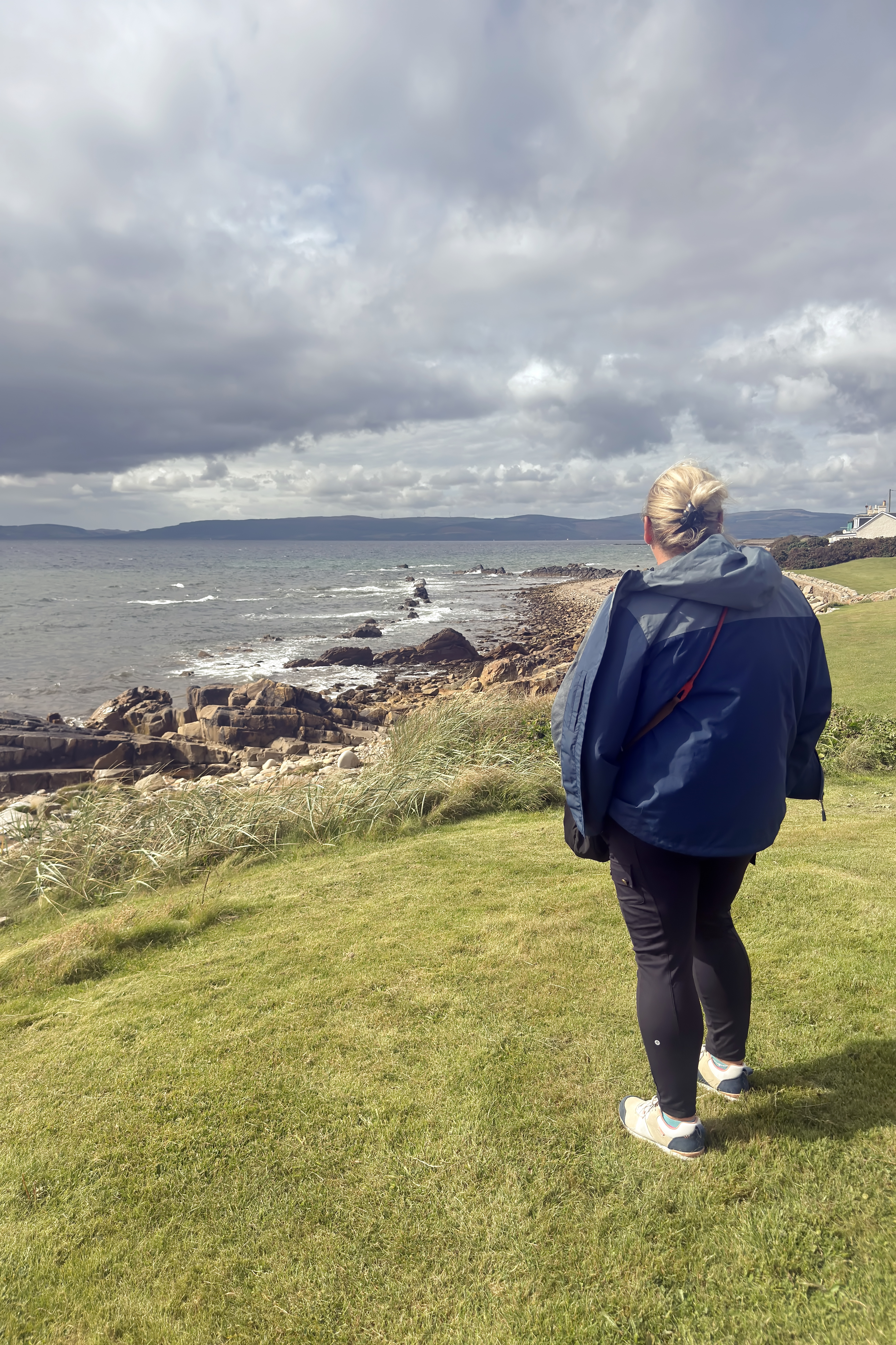
Disembarking the ferry at Brodick, we set off across the island along “The String Road,” a historic mountain route weaving through the rural farmland of the Shiskine Valley. Our destination was the village of Blackwaterfoot on Arran’s west coast, a quaint spot with a charming little harbour at the mouth of the Black Water. From the open, rocky shore, the views stretch wide across to the Mull of Kintyre, making it the perfect place to pause and soak in the scenery.

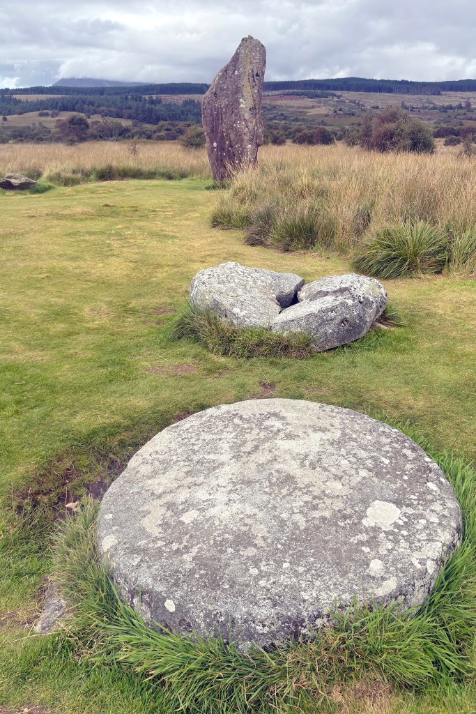
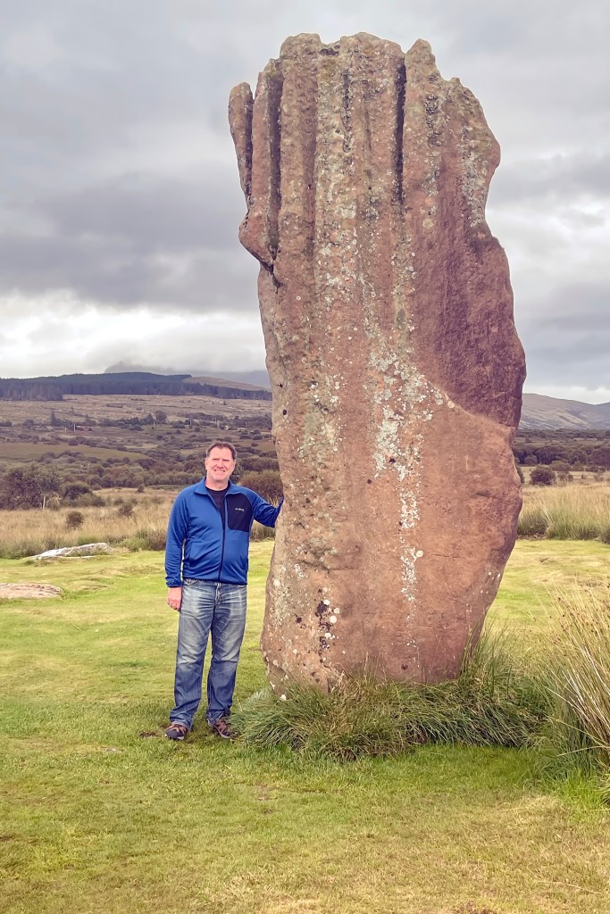
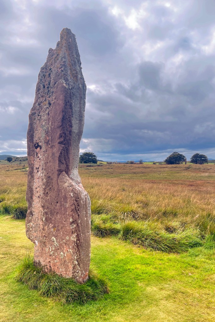
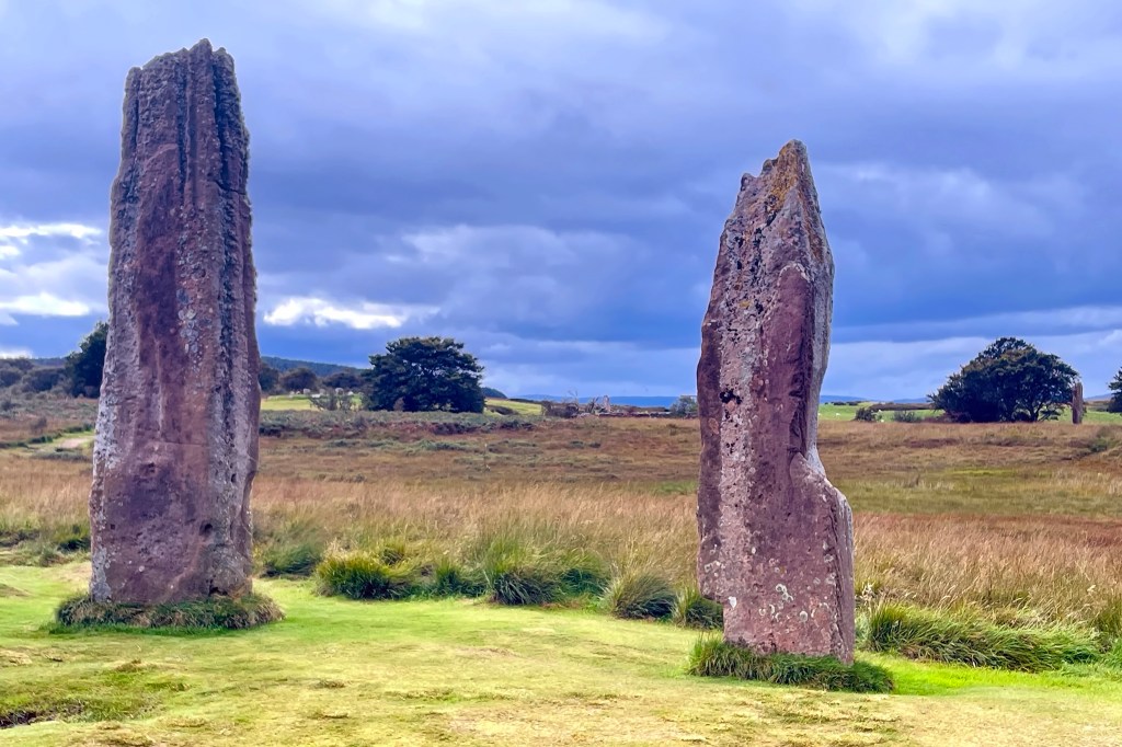
From there, it was time to venture into Arran’s ancient past at Machrie Moor, a windswept landscape rich with Neolithic and Bronze Age archaeological sites. Scattered across the moor are several haunting stone circles, some more than 4,000 years old. Beneath the peat lie traces of even older wooden circles, a reminder that people have gathered here for ritual and ceremony for millennia. Walking among the stones, you can almost feel the echoes of those ancient gatherings, the flicker of fires, and the hum of lives long past, all set against the endless Scottish sky.
Visiting Machrie Moor was humbling and atmospheric. We walked across farmland, sheep grazing around us, the hills of northern Arran looming in the distance. The ground was still soft from rain, and as we reached the circles, it felt like stepping into another world, fires once burning, rituals unfolding, myth and history mingling under the same wide sky.


The stones are strikingly varied: squat, rounded granite boulders in the circle to isolated tall sandstone pillars rising like sentinels against the sky. Folklore has given them names and legends – one circle is called Fingal’s Cauldron Seat, where the mythical giant Fingal supposedly tethered his dog while he feasted. Some stones even align with the midsummer sunrise, tying them to the rhythm of the seasons.
After soaking up the quiet magic of the moor, we returned to Brodick with very different evening plans. From ancient stones and whispers of the past, we swapped silence for the roar of football fans at the Fallen Goat pub, tucking into supper and a pint (or two) while cheering on Scotland against Denmark in the 2026 World Cup Qualifier.
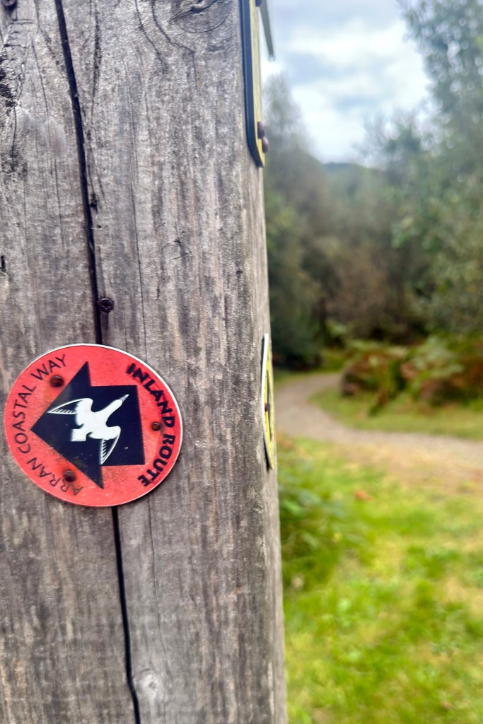
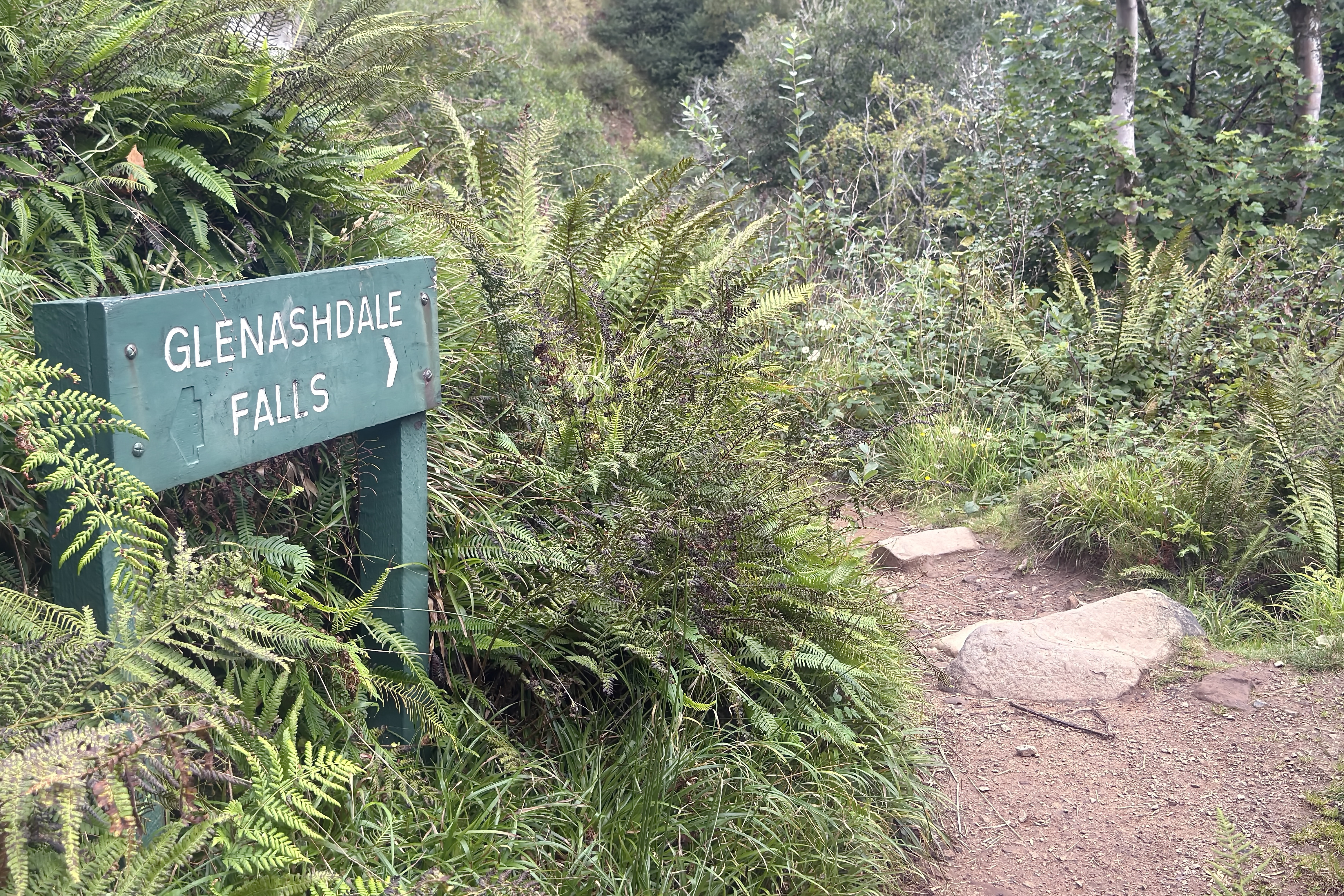
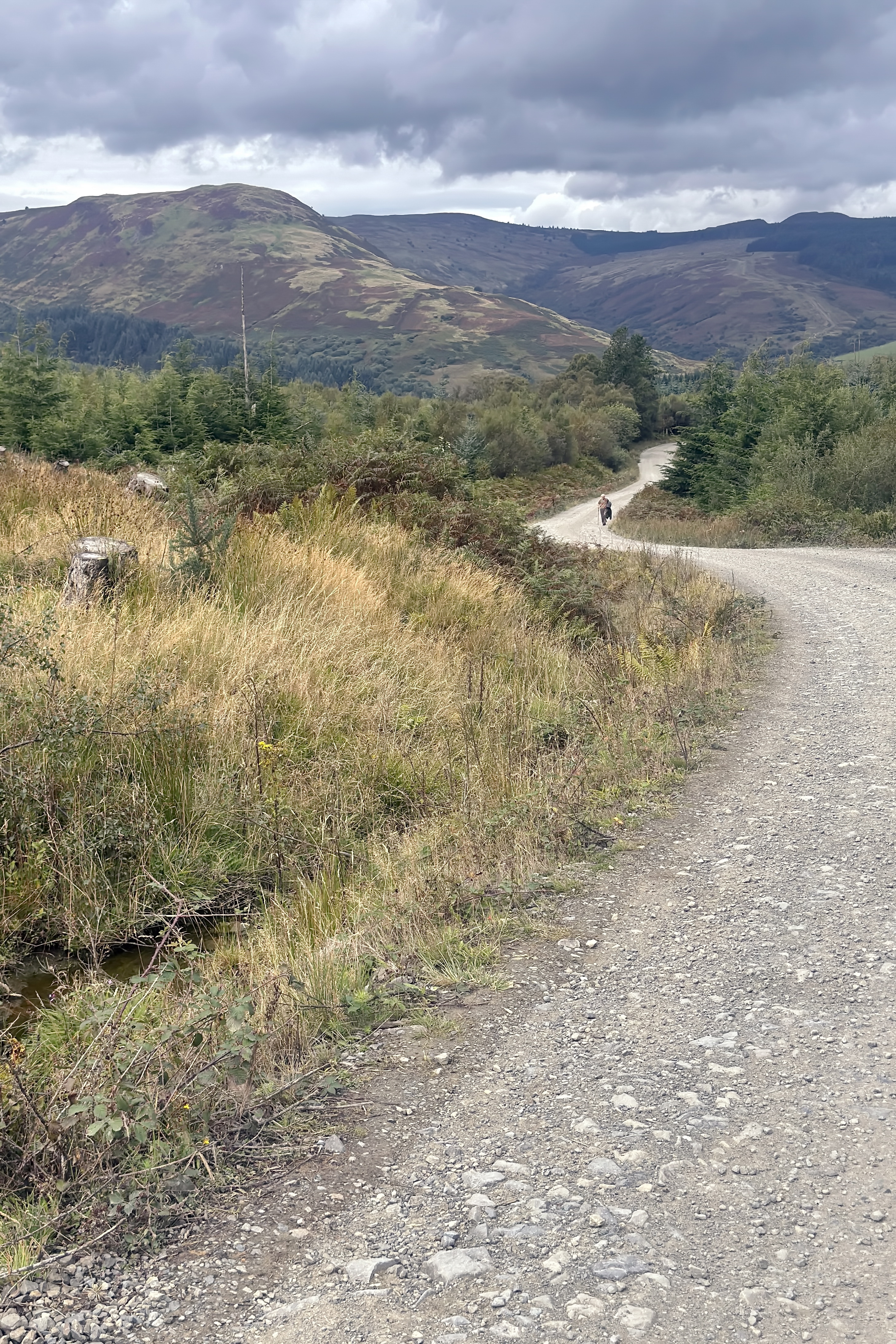
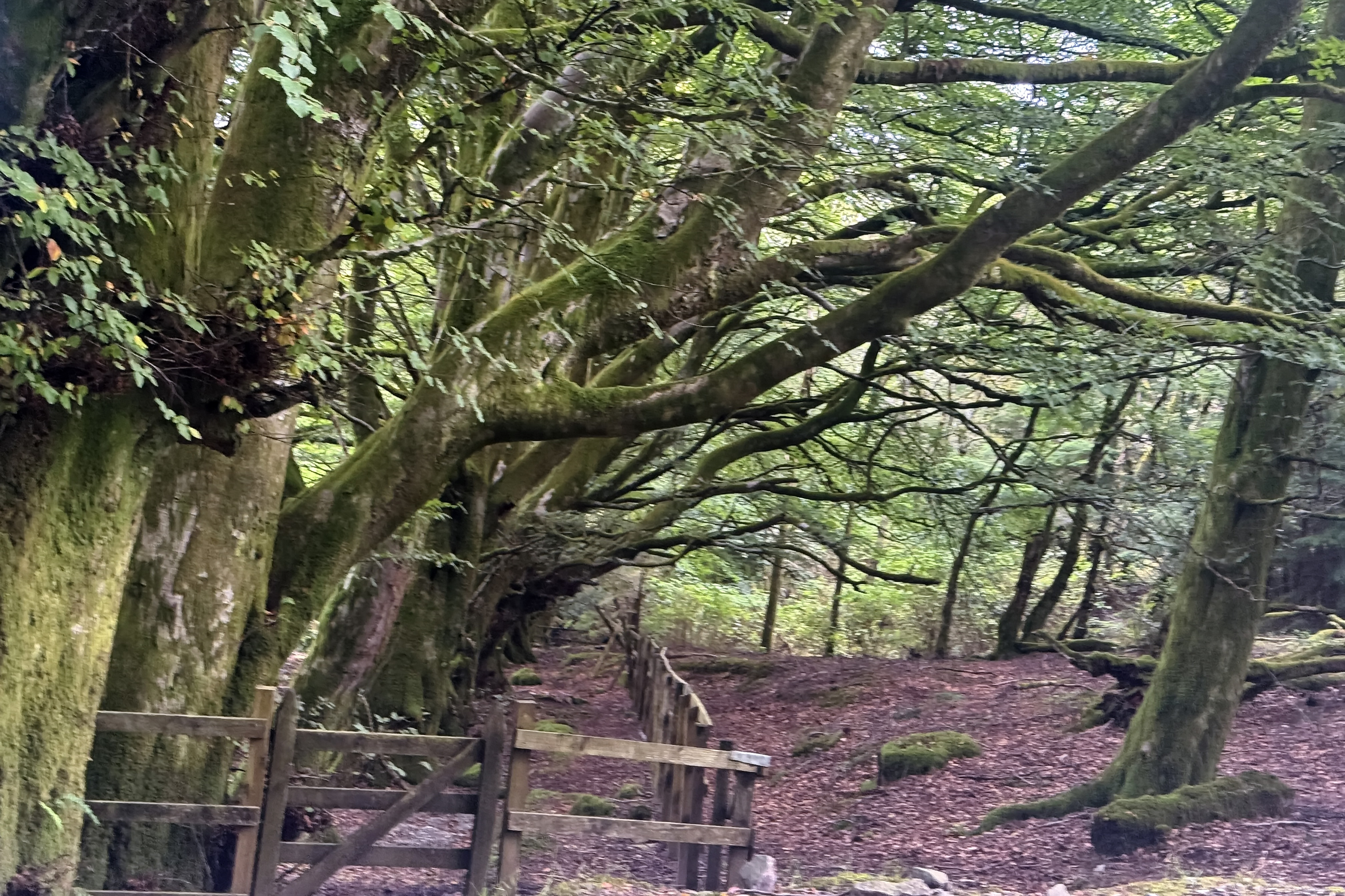
The next morning, the boys caught a local bus to Whiting Bay for a hill walk to Lamlash. They chose a section of the Arran Coastal Way, a 65-mile (105 km) circular walking route around the island. Their inland path started at Ashdale Bridge, where the Glenashdale Burn flows into the Firth of Clyde. The trail wound beside the stream through natural woodland before climbing the valley side.

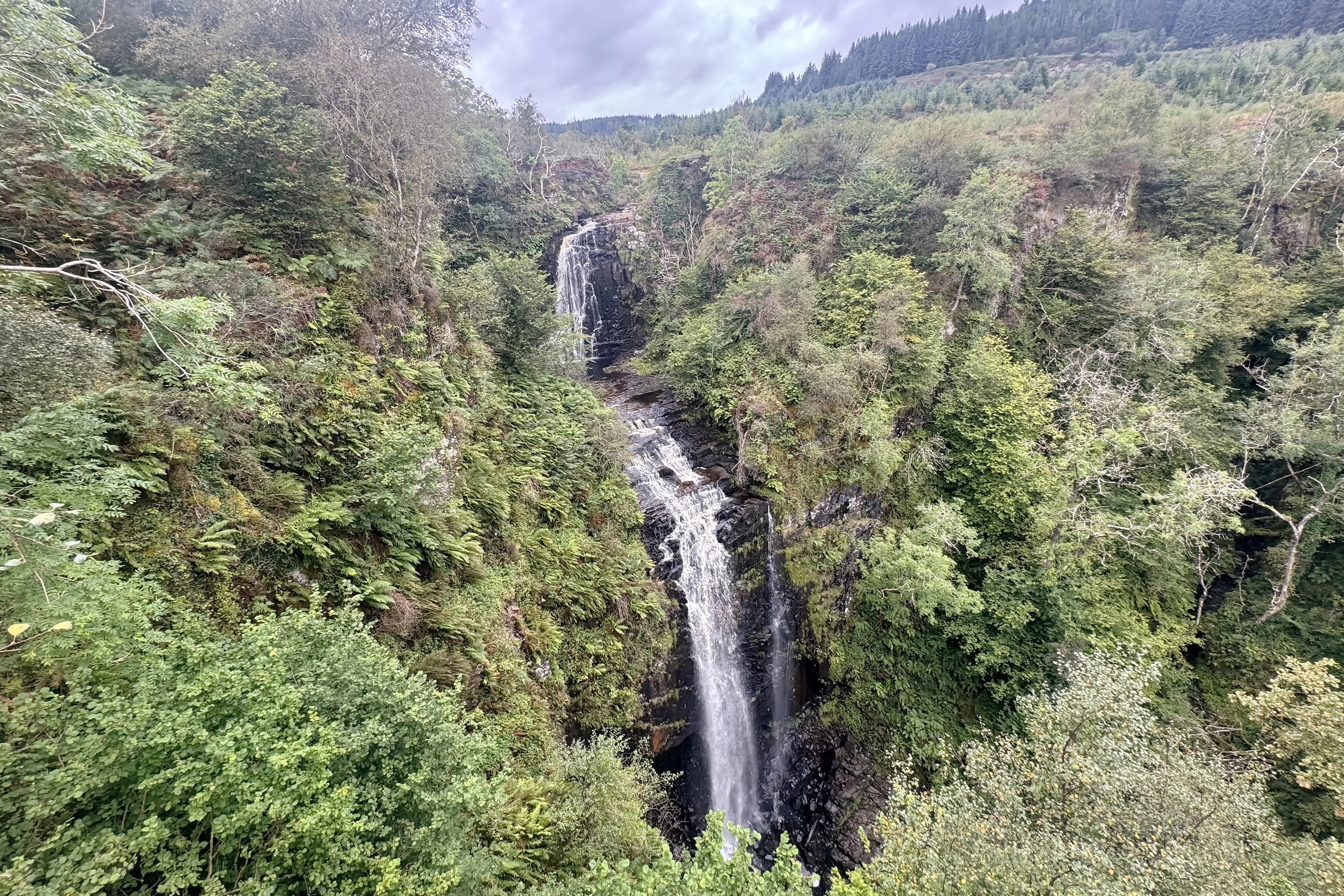
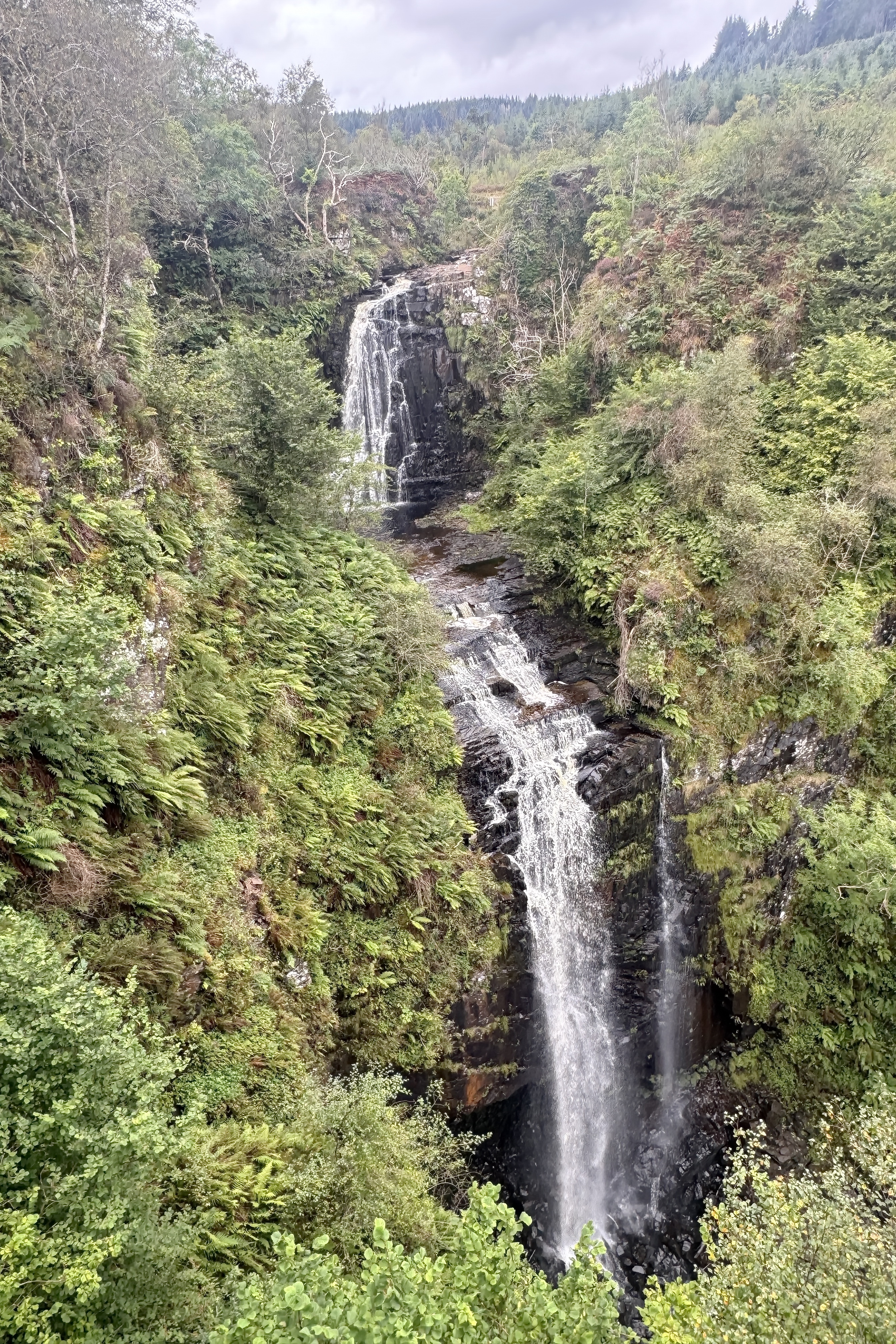
Soon, the rush of Glenashdale Falls echoed through the trees, and we were rewarded with a spectacular double-drop waterfall, worth every step of the climb.
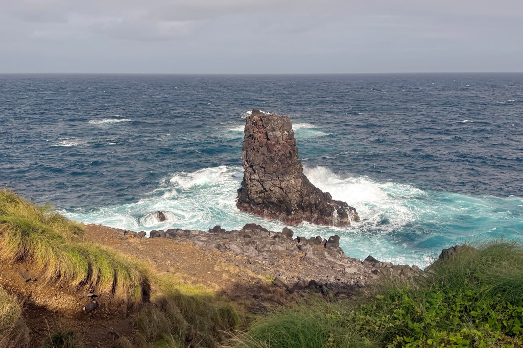
From there, the forestry track undulated along the hillside ridge, offering sweeping views of the coast and mixed natural woodland. At a few more open spots, the length of Holy Isle stretched offshore in Lamlash Bay. This small, spiritual island is owned by the Samye Ling Tibetan Buddhist Centre and is home to a Centre for World Peace and Health, a lighthouse, the summit of Mullach Mòr, and even the hermitage of 6th-century monk St. Molaise. For now, though, the lads admired it from afar as they descended toward Lamlash.


While the boys were off hiking, I decided to wander at my own pace. A slow stroll (with plenty of stops at little shops along the way) brought me to the Isle of Arran Heritage Museum, about 2.5 km from our B&B in Brodick. The museum was a treat with engaging and informative displays on Arran’s role in both World Wars, cultural history, and island life. But the real highlight was tucked away in a small outbuilding: the geology exhibit.
Here I learned that on the shoreline near Corrie on the south coast, you can still see the fossilized footprint of a dinosaur from 200 million years ago, pressed into sandstone when Arran was part of a much warmer world. Even stranger are the tracks of Arthropleura, giant millipede-like creatures (sometimes nicknamed “giant centipedes”) that scuttled across the mud here 300 million years ago. Their trail marks are still visible today. I wish we’d had time to track down both sets of prints, but there’s always satisfaction in leaving a reason to come back.
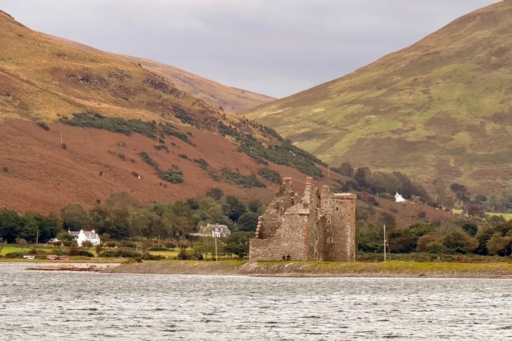
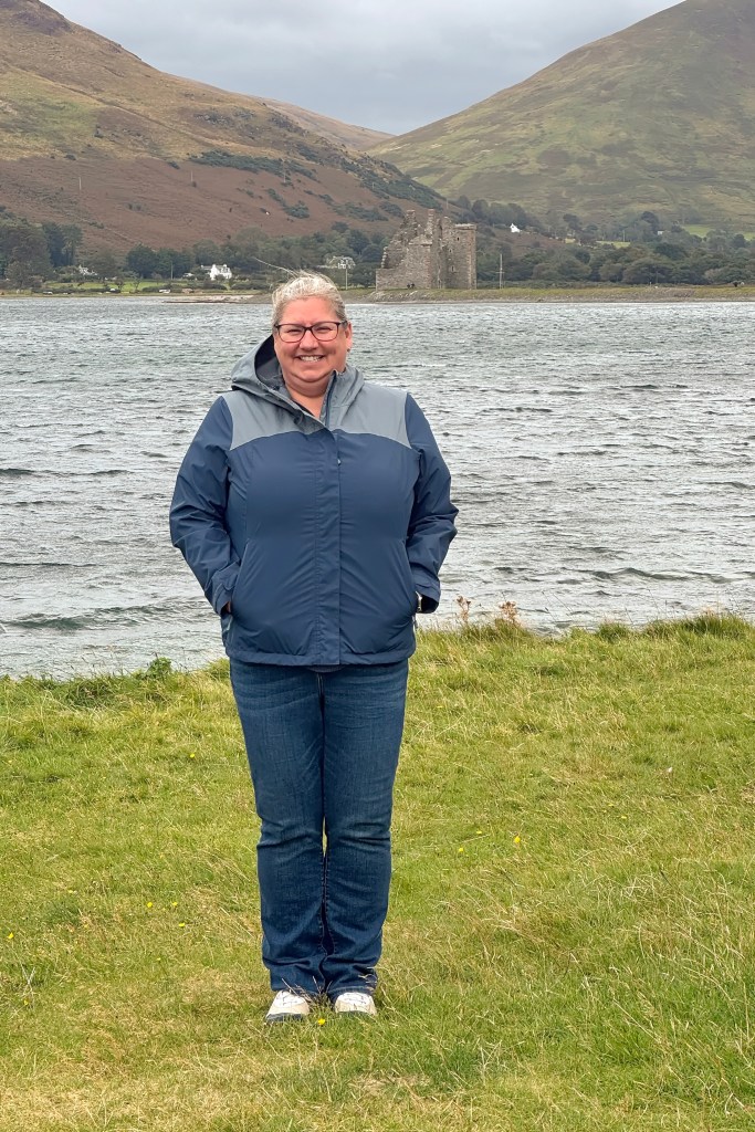
On our final day, we drove north along Arran’s winding coastal road to Lochranza, known for its ruined castle and the ferry terminal.
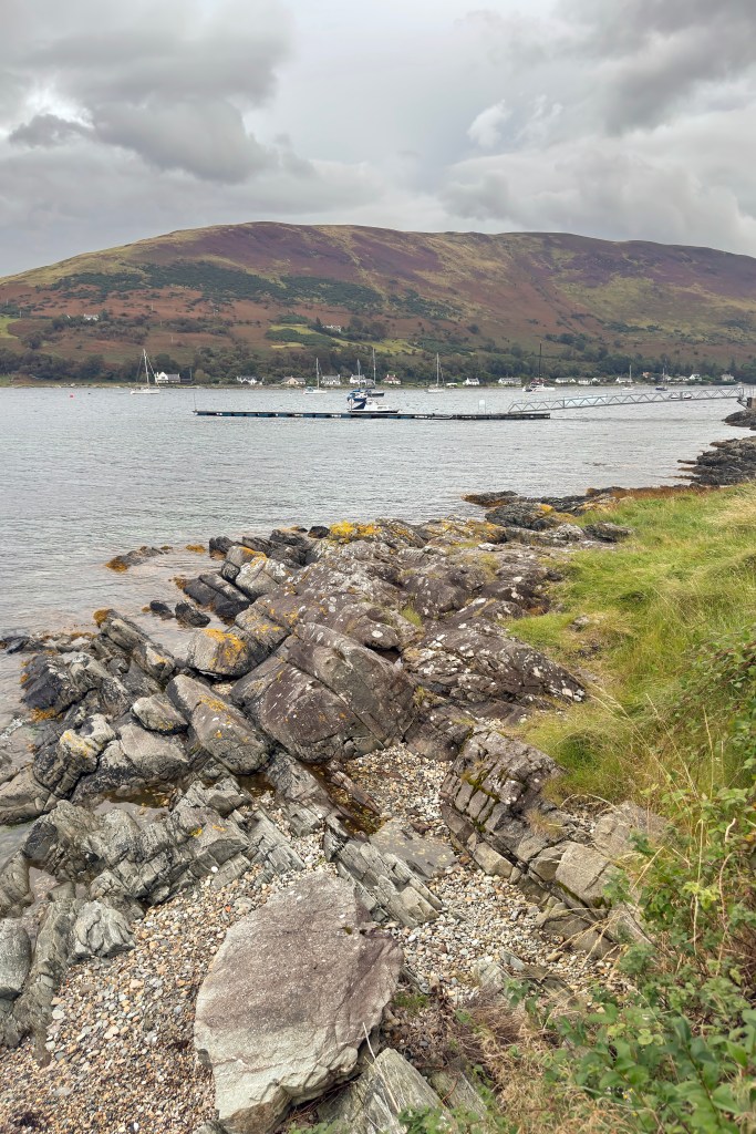
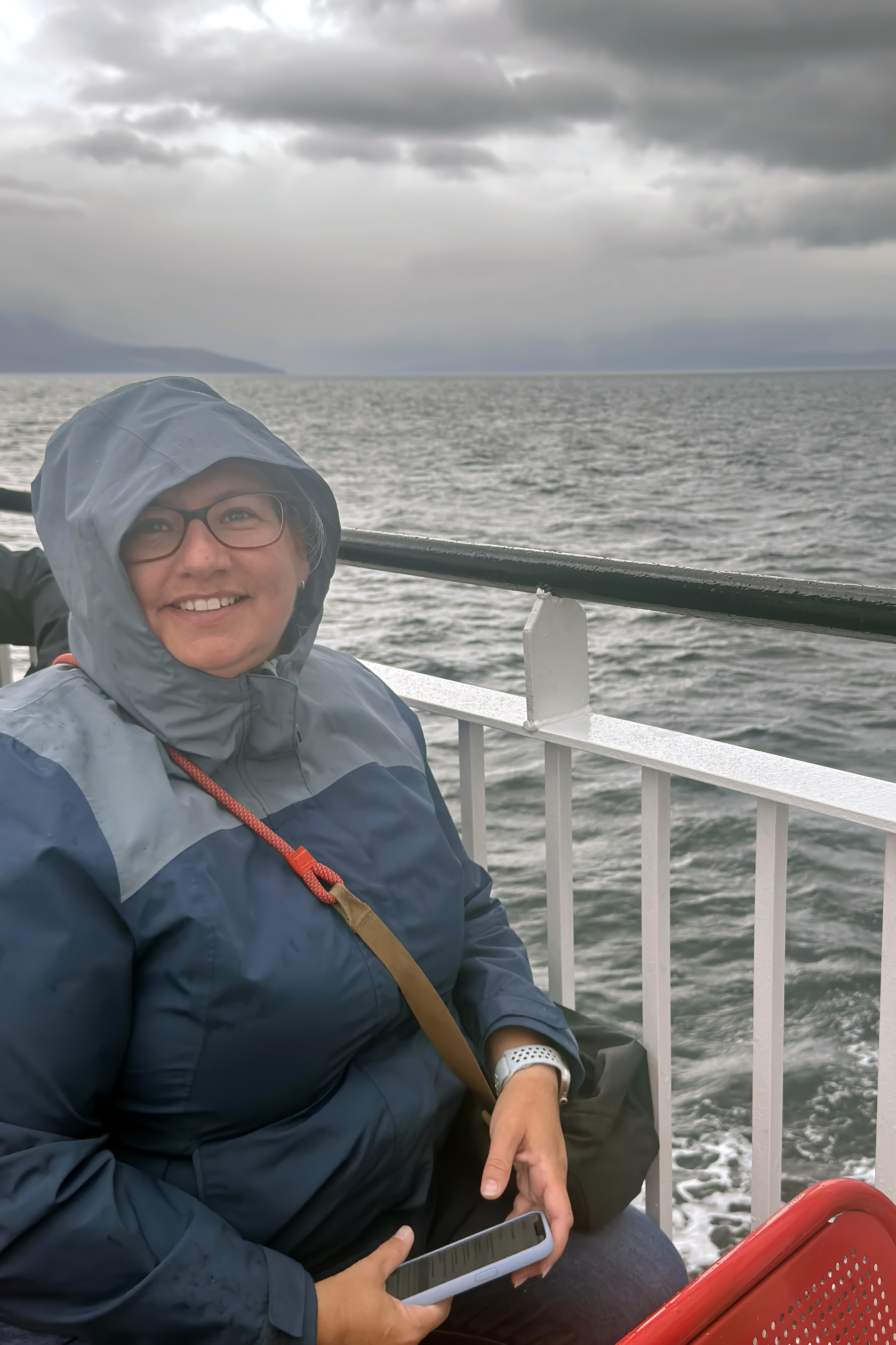
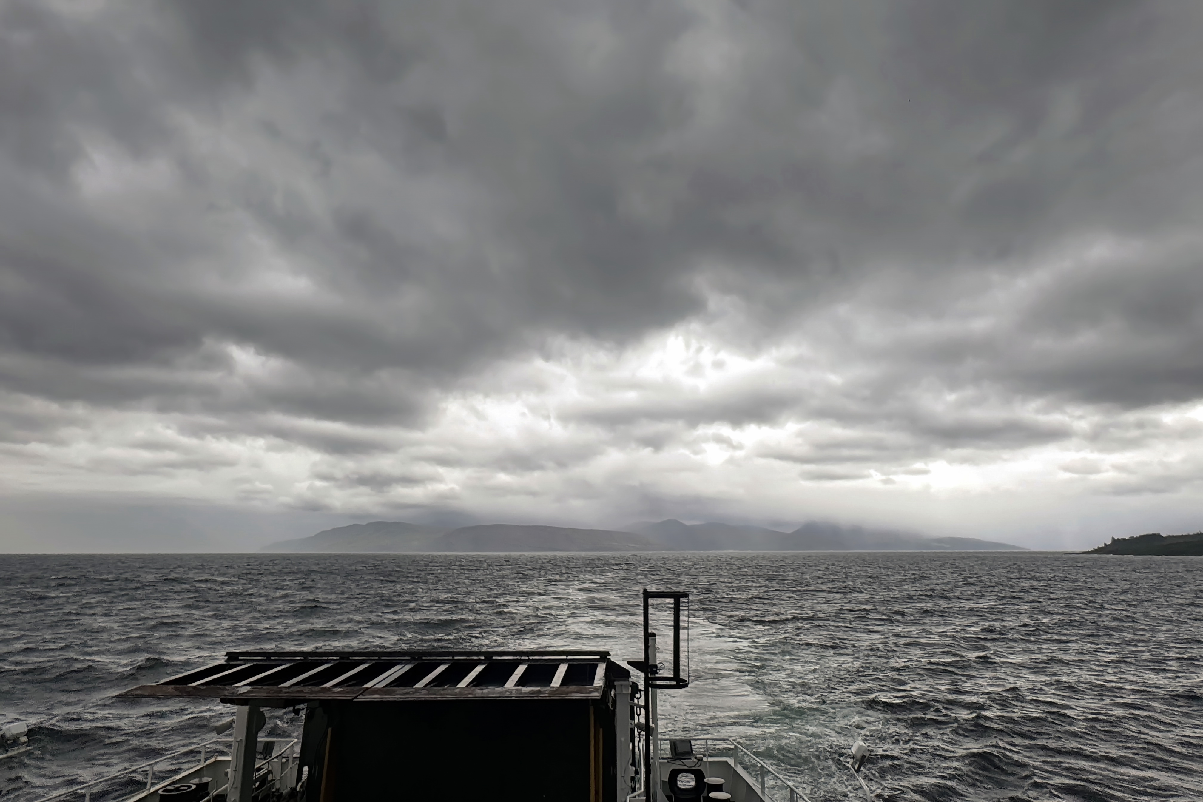
While waiting for the ferry, treats in hand from the aptly named Sandwich Station, we were thrilled to spot dolphins frolicking in the harbour. Naturally, the moment we boarded the ferry, and had a perfect vantage point, they vanished! Halfway into the crossing, the weather turned, and rain and mist blurred the landscape into soft shades of grey. With the swells growing beneath us, our ferry was diverted to the sheltered harbour of Tarbert, an hour further along toward Loch Fyne, rather than the nearby port of Cloanaig on the Kintyre Peninsula.

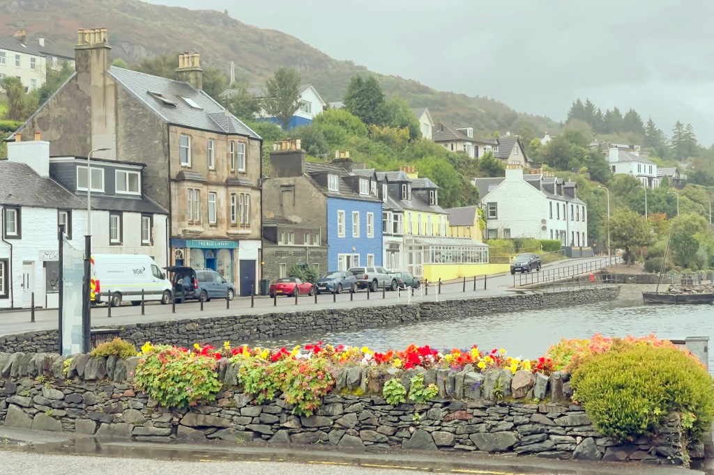
Tarbert itself, with its colourful houses and sheltered harbour, was a charming end to our Arran adventure.


Leave a comment